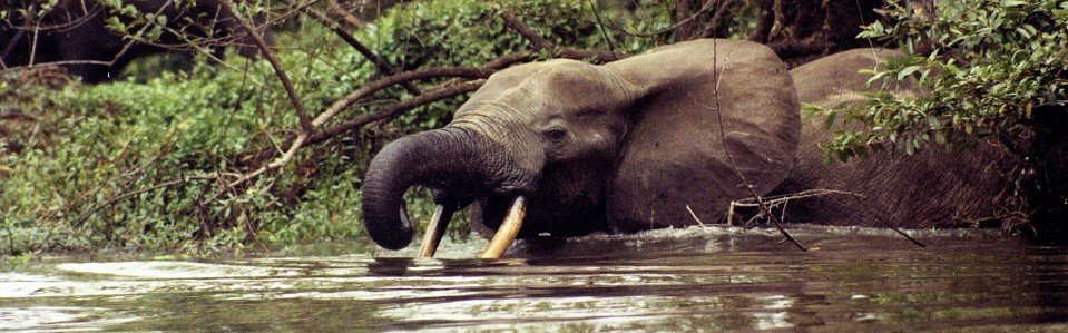
In reading a recent article from the Center for International Forestry Research, I was reminded that there are an increasing number of tools to help local communities, governments, conservationists, and the public at large monitor changes in canopy cover and biomass, the ability of resource managers and carbon markets to play an important role in helping conserve tropical forests is moving in an exciting direction. See for example here for mapping by the Carnegie Airborne Observatory, and here for work by the University of Maryland, and here for work by the Woods Hole Research Center. These tools are incredibly powerful at helping see the extent of existing deforestation, as well as planning for mechanisms to curb it, track improvements (and set backs), and strive for reducing greenhouse gas emissions from deforestation as well as improving carbon storage by protecting the forest.
Home » Uncategorized » Increasing transparent maps for tropical forests
Increasing transparent maps for tropical forests
Recent Posts
Pages
Archives
- March 2021
- August 2020
- May 2020
- December 2019
- September 2019
- August 2019
- April 2018
- December 2016
- November 2016
- October 2016
- September 2016
- August 2016
- July 2016
- June 2016
- May 2016
- April 2016
- March 2016
- February 2016
- January 2016
- December 2015
- November 2015
- October 2015
- September 2015
- August 2015
- July 2015
- June 2015
- May 2015
- April 2015
- March 2015
- February 2015
- January 2015
- December 2014
- November 2014
- October 2014
- September 2014
- August 2014
- July 2014
- June 2014
- May 2014
- April 2014
- March 2014
- February 2014
- January 2014
- December 2013
- November 2013
- October 2013
- September 2013
- August 2013
- July 2013
- June 2013
- May 2013
